ML4HealthyForest
New fully automated ML4HealthyForest service for private forest owners in Estonia and Latvia, which will provide objective forest management and thinning recommendations based on remote sensing data, forest growth algorithms, modeling, machine learning (ML) methods.
Project detailed description
![]()
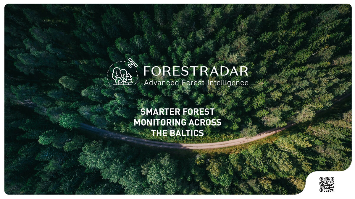
Forest Monitoring
Baltic Satellite Service is making forest management smarter, faster and more accessible with new satellite-based tools – all available in one place on the GeoHub Platform.
There are 3 services implemented:
- Clearcut Detection
- Forest Health Risk Monitoring
- ML4HealthyForest – Smart Thinning Recommendation